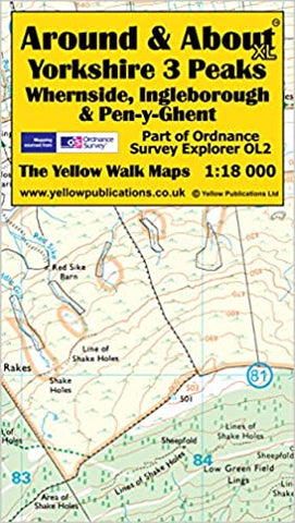
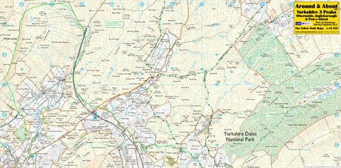
Around & About - Yorkshire 3 Peaks Map
The new Yorkshire 3 Peaks Around and About Map.
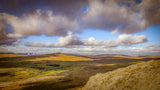
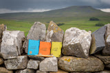
This map is double sided, measuring 630mm x 320mm when unfolded. High resolution Ordnance Survey Explorer data is used; re-scaled to 1:18 000 to enhance clarity while still covering enough of this Pennine area to include the peaks of Whernside, Ingleborough and Pen-y-Ghent.
This Around and About the Yorkshire 3 Peaks map features a lightweight double-sided lamination, which is splash-resistant but not immersible. The map is really easy to unfold and re-fold. It is supplied folded, in a clear plastic sleeve and it will easily fit into a pocket.
- ASIN : B00N95CUV0
- Publisher : Yellow Publications;
Organising a Yorkshire Three Peaks walk?
Help keep the Three Peaks special for all to enjoy by ensuring your walk is well planned, respects the environment and supports the local community. Here’s how:
- Let us know about your walk with our free notification scheme and receive our free Yorkshire Three Peaks Walk Guidelines. These guidelines will ‘point you in the right direction about what you need to organise and consider to ensure your walk minimises its impact and supports the area.
- Circulate the Yorkshire Three Peaks Code of Conduct to your group. These simple messages show what every individual can do to help keep the Three Peaks special for all to enjoy. Pass them on to everyone in your group.
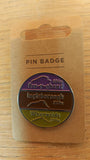
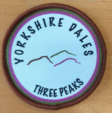
- When you notify us of your event through our notification scheme you will receive a 10% discount on our Yorkshire Three Peaks merchandise.
What about adding one of these?..