Yorkshire Dales Three Peaks Panoramic Map A2
The Panoramic maps are based on the Ordnance Survey 25.000 scale maps. They are accurate perspective projections of the contours and are enhanced with topographical detail using photographs taken on location. They are not only useful for planning walks or rides but also provide a unique souvenir of the area.
The maps are printed on 130 gsm semigloss paper. As the maps are a perspective format they should not be used for navigating but as a visual representation in conjunction with the Ordnance Survey maps.
Organising a Yorkshire Three Peaks walk?
Help keep the Three Peaks special for all to enjoy by ensuring your walk is well planned, respects the environment and supports the local community. Here’s how:
- Let us know about your walk with our free notification scheme and receive our free Yorkshire Three Peaks Walk Guidelines. These guidelines will ‘point you in the right direction about what you need to organise and consider to ensure your walk minimises its impact and supports the area.
- Circulate the Yorkshire Three Peaks Code of Conduct to your group. These simple messages show what every individual can do to help keep the Three Peaks special for all to enjoy. Pass them on to everyone in your group.
- When you notify us of your event through our notification scheme you will receive a 10% discount on our Yorkshire Three Peaks merchandise.
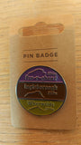
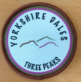
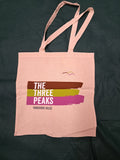
What about adding one of these?..