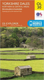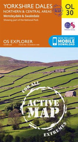

OS Explorer OL30 Yorkshire Dales Northern &Central areas – Active Map
OS Explorer is the Ordnance Survey's most detailed map and is recommended for anyone enjoying outdoor activities like walking, horse riding and off-road cycling. The OS Explorer range of maps now includes a digital version of the paper map, accessed through the OS smartphone app, OS Maps. Providing complete GB coverage the series details essential information such as youth hostels, pubs and visitor information as well as rights of way, permissive paths and bridleways.
The active map is a plastic coated weatherproof version of the paper map.
This area covers Swaledale including Reeth, Gunnerside and Muker. Wensleydale including Leyburn, Middleham, Aysgarth and Hawes. Upper Wharfedale including Buckden and Kettlewell.
OL30 is often bought alongside OL2 (Southern and Western Yorkshire Dales)
This map is 1:25,000 scale
4cm to 1km - 2.5 inches to 1 mile
What about adding one of these?..